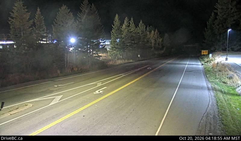
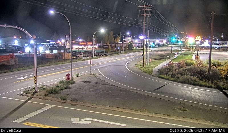
Is the Kootenay Pass Open? — Highway 3 Conditions (Salmo to Creston)

OPEN

Work zonesTraffic flowing — construction until Sep 30.

🚧 2 WORK ZONES · UNTIL Sep 30
Last checked: 3 minutes ago · Official DriveBC data

Free alerts the moment the Kootenay Pass closes

Free

Free, year-round closure alerts — no account, no password, unsubscribe anytime.

Push alerts on this device

Instant notification even when the tab is closed.

Active incidents

  • CONSTRUCTION

    WB

    Paving operations. Starting Mon Aug 10 until Tue Sep 29. From 7:00 AM to 7:00 PM MST, Monday to Saturday. Single lane alternating traffic. Watch for traffic control. Expect delays.

    RIDE-101289
  • CONSTRUCTION

    Both

    Paving operations. Starting Mon Aug 17 until Sat Oct 24. From 7:00 AM to 7:00 PM MST, Monday to Saturday. Single lane alternating traffic. Expect minor delays. Watch for traffic control. No work during long weekends. Emergency vehicles will be accommodated through work sites.

    RIDE-101089

Driver reports

No driver reports yet. Official DriveBC data is the source of truth above.

FAQ

What is the Kootenay Pass?
The Kootenay Pass (Salmo–Creston Skyway) is Highway 3 between Salmo and Creston in BC's West Kootenay/Boundary region. It crosses the 1,774 m summit at Stagleap Provincial Park — the highest year-round highway pass in Canada — and is the main road link between the West Kootenay and the East Kootenay / Alberta.
How current are these Kootenay Pass conditions?
Conditions are refreshed from DriveBC's official Open511 feed every 5 minutes. Official data can lag fast-moving incidents by a few minutes, which is why we also show driver reports below the official status.
What's the alternate route when Highway 3 is closed?
There's no fast alternative. The two real options are: (1) the Kootenay Lake ferry via Highway 3A — Nelson to Balfour, across Kootenay Lake on the Balfour–Kootenay Bay ferry (limited winter sailings, wait times can be long), then Highway 3A into Creston; or (2) a long southern detour through the US via Nelway / Metaline Falls, or a long northern loop via Highway 6 and Nakusp. Neither is a good winter shortcut — for most trips it's faster to wait for the pass to reopen.
Is this site free?
Free to check, free email alerts, no account required. We run a small number of hand-placed local sponsorships — no programmatic ads, no retargeting pixels, no third-party tracking scripts, ever.
Where does this data come from?
DriveBC's public Open511 API (api.open511.gov.bc.ca). We filter to events on the Kootenay Pass corridor (Highway 3 between Salmo and Creston, including Stagleap Provincial Park at the summit) and classify them as open, delayed, or closed.
Why might one direction show differently than the other?
Incidents like single-lane closures, avalanche control, construction, crashes or rockfalls often only affect one direction of travel. When westbound (toward Salmo) and eastbound (toward Creston) don't match, we split the banner so you see each direction's status independently.

Recent closures

Full history →